Welcome to
Course Cloud
the best place for online learning!
Log In
Sign Up
Don’t have an account yet? Sign Up
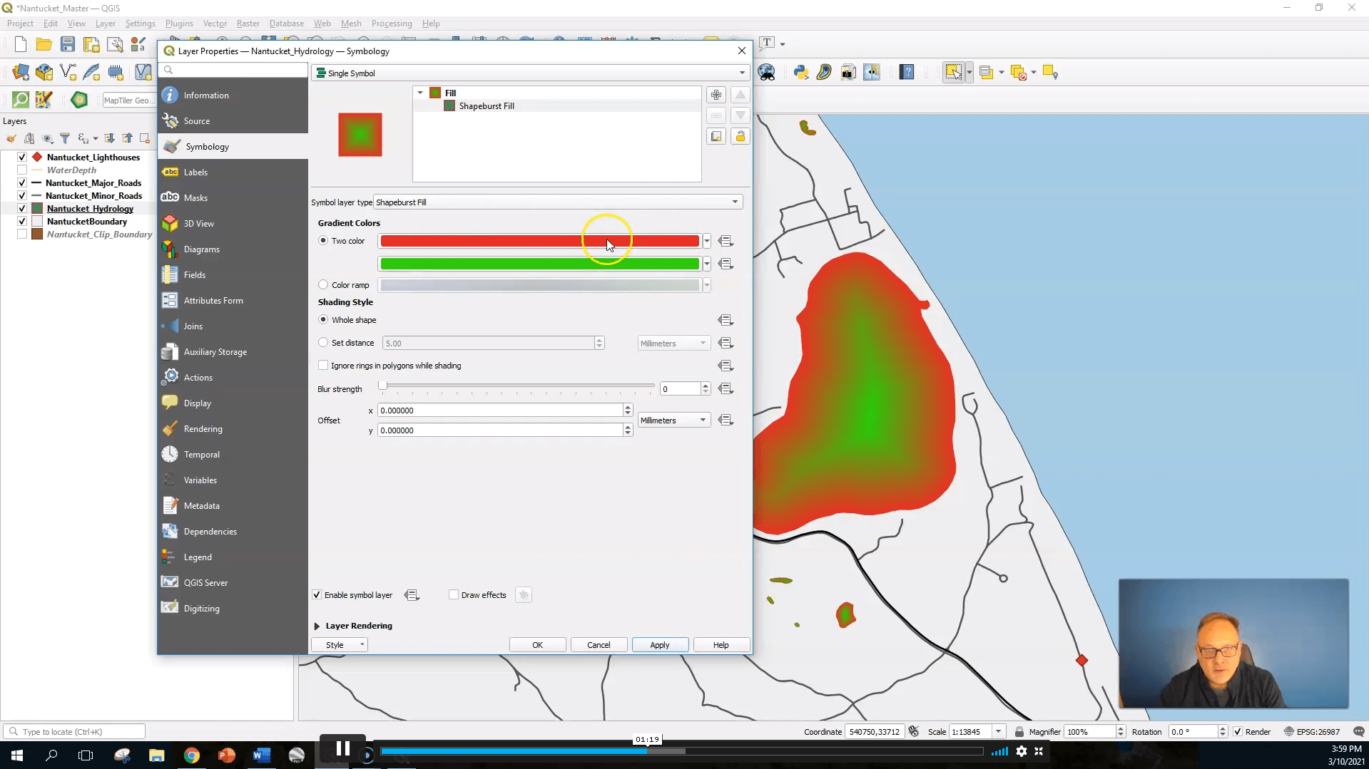
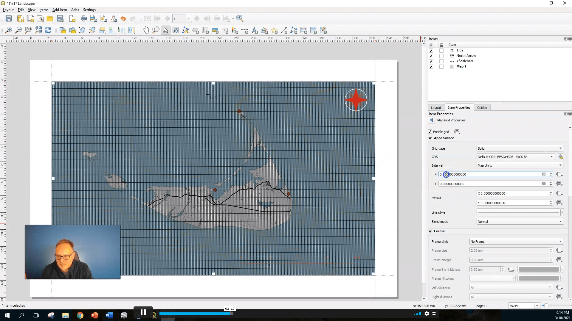
Advanced QGIS Cartography
What Will I Learn? Understand how the label tool works and how to add and change labels in QGIS Know …
10 enrolled on this course
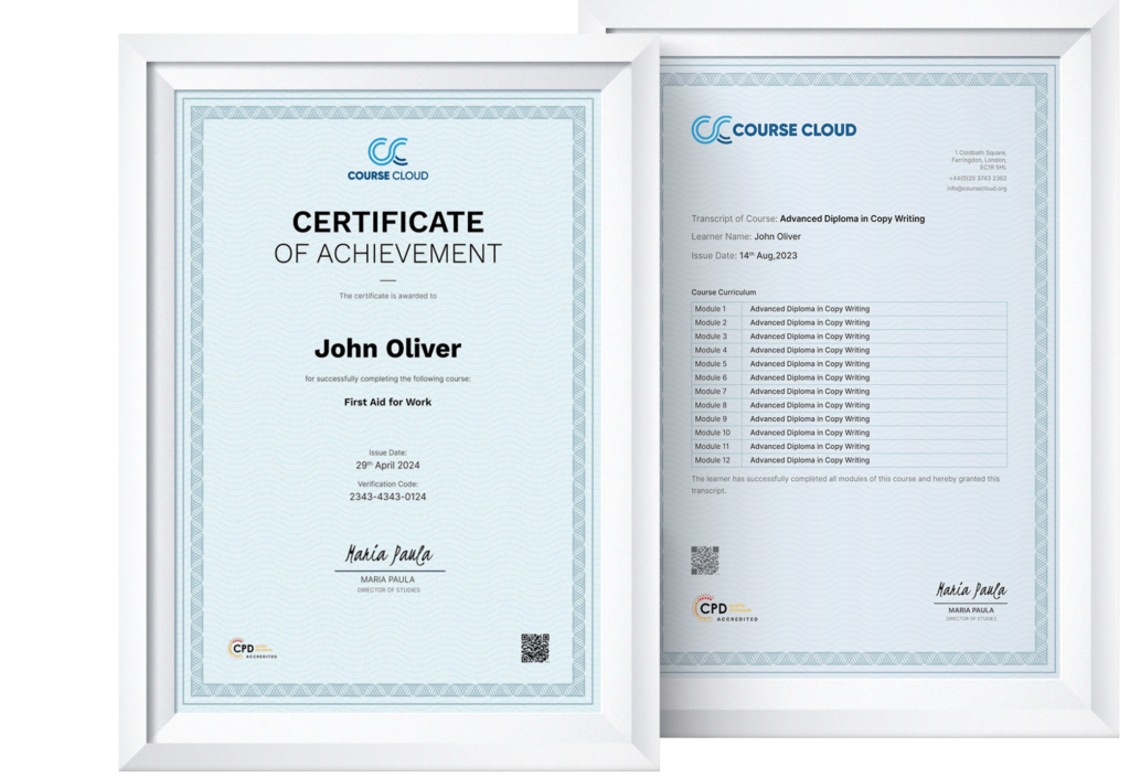
 Get Accredited Certificate
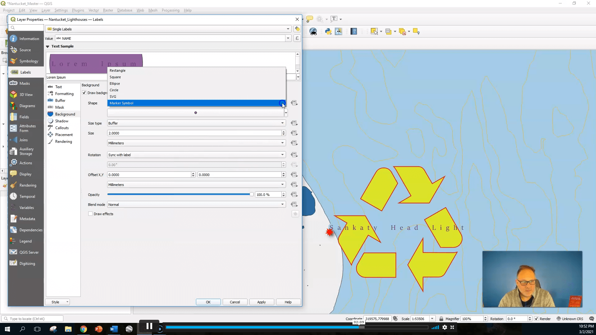


$ 25
( 50% Off Limited Time )

 ALL COURSES FOR £49
This Course Includes
- 45 Units
- 1 Year Access
- 4 hours, 2 minutes
- Advanced
- Accredited Certificate


Frequently asked questions
Can’t find the anwser you’re looking for ? Reach out to customer support team.
Which courses will I be able to study?
As a Lifetime Prime Member, you will receive lifetime access to our entire course library and a student ID card. You will also receive a PDF certificate with every course you complete. Furthermore, you can get unlimited PDF transcripts and 5 hardcopy certificates.
Are there any restrictions?
As a Lifetime Prime Member, you will receive lifetime access to our entire course library and a student ID card. You will also receive a PDF certificate with every course you complete. Furthermore, you can get unlimited PDF transcripts and 5 hardcopy certificates.
What does the Prime Learning Membership include?
As a Lifetime Prime Member, you will receive lifetime access to our entire course library and a student ID card. You will also receive a PDF certificate with every course you complete. Furthermore, you can get unlimited PDF transcripts and 5 hardcopy certificates.
How do I become a Lifetime Prime Member?
As a Lifetime Prime Member, you will receive lifetime access to our entire course library and a student ID card. You will also receive a PDF certificate with every course you complete. Furthermore, you can get unlimited PDF transcripts and 5 hardcopy certificates.